Inform the community
When the community knows the risk magnitude, it may stimulates it to go a way from the hazardous areas, without governments intervention.
Aid the decision makers
When decision makers have the accurate (near real) representation of the reality, this accuracy could make the decisions almost 100% fitting.
Make better future
Understandig the attitude of flood on a specific area, will lead to an ideal preperation for the flood, even to avoid it, which will make the future more safe, more prosperous.
FACTS
The levels of the White Nile water and the Blue Nile were reported at 17.14 meters (min) in Khartoum, high level of water resulting from heavy rain in Ethiopia. Heavy rains cause devastating floods in different regions of Sudan.
due to geographical conditions and climatic change as heavy rainfall and high temperature. Khartoum state was among the states most affected by the floods.
Khartoum state is vulnerable to floods due to its location in between two rivers, the Blue and the White Nile river. For example, On 13 September, 2020:
650,000 people had been affected by floods in 17 out of Sudan’s 18 states, since the start of the rains in mid-July
Thousands of people are displaced, and many are sheltering in schools, creating further challenges for the Government and teachers just before schools are set to reopen.
Floods also destroyed 1,700 ha of agricultural land, 179 public facilities (schools, health centres, and government offices), 359 shops and warehouses, and killed 5,500 head of livestock.
More than 111,000 houses were either destroyed or damaged in the first week of September alone.

Our Mission
Mapping the flood, response effectively on a GIS-based approaches ,facilitate the decision making process, and to provide insights, data, and reports.
Our Plan
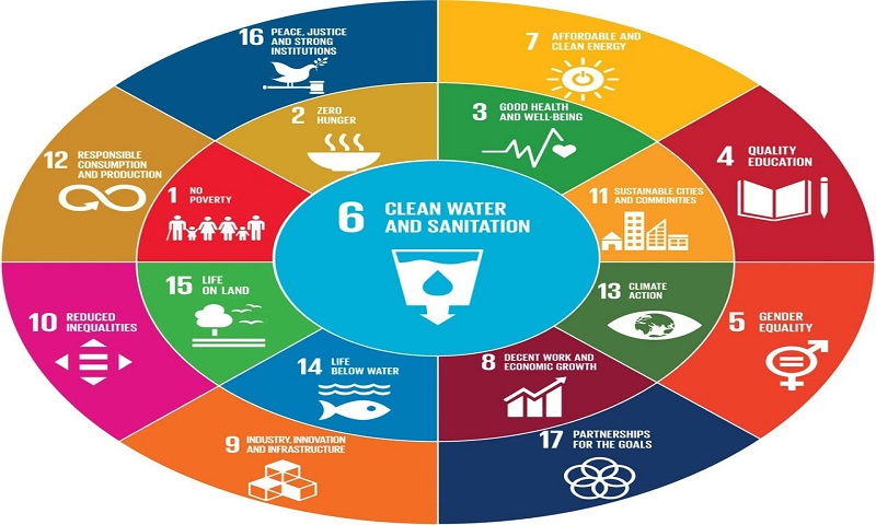
To leverage the community welfare, saving lives and properties, in order to a achieve sustainable development goals (SDG,s).

Our Vision
To be a fully-fledged national risk mapping platform, settled on a high level of standards, and to be a reference for all flood related matters.
Services
This platform provides a variety of services related to the flood, pre it's occurence, on the state of occurrence, and after the occurrence.
Evacuation Planning
We exploit the GIS analysis's power for determining the best suitable evacuation places.
Hazrad Prediction
We calculate the flood potentiality, on another word, we forecast the flood, predicting the hazard.
Donations Coordination
We play as a moderator for donations and funds, between the donors, sponsors and NGO's and the beneficiaries.
Reports & Data
We prepare a reports of the situation, on consistent basis and make the datasats available for any further analysis research or studies.
Emergencies
Relief teams could use the emergency map to reach to the adfected people and those whose affected could use the form to get helped. By clicking the icon below.
EmergenciesFacts
Detailed facts, records, and statistics about the flood.
White Nile and Blue Nile water levels at meter (minute) in Khartoum.
people had been affected by floods in 17 out of Sudan’s 18 states, since the start of the rains in mid-July
Homes damaged in the first week of September alone.
killed head of livestock
Data Sources


Team

Mohammed Al-Zubair
Survey Engineer &Web Designer
Mustafa Mohammedain
Geomatics Engineer
Mohmmed Abuobiuda
Survey EngineerContact Us
For any further details or consultations, don't hesitate to contact us.